Pipelines
Learn about oil and gas pipeline impacts through FracTracker articles, maps, and imagery.
Learn about oil and gas pipeline impacts through FracTracker articles, maps, and imagery.
North America consists of a vast network of inter- and intrastate pipelines that transport products ranging from water to hazardous liquids to raw materials. The U.S. oil and gas pipeline network delivers trillions of cubic feet of natural gas and hundreds of billions of tons of liquid petroleum products each year. The infrastructure’s main environmental health and safety risks include land use and forest fragmentation, compressor station emissions, erosion and sedimentation, spills and leaks, and explosions.
Explore our site’s various articles about oil and gas pipeline issues below, listed in descending order by date.
In the summer of 2018, FracTracker released a detailed environmental impact assessment (EIA), including digital maps, of the Falcon Ethane Pipeline
 https://www.fractracker.org/a5ej20sjfwe/wp-content/uploads/2016/06/Pipeline-Feature.jpg
400
900
FracTracker Alliance
https://www.fractracker.org/a5ej20sjfwe/wp-content/uploads/2025/09/2025-Wordmark-Logo.png
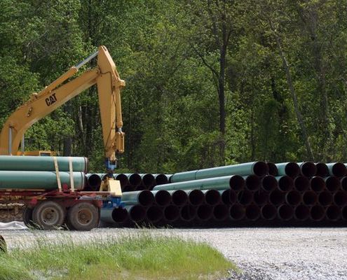
FracTracker Alliance2016-06-14 16:01:022020-03-12 13:32:32An Introduction to Oil and Gas Pipelines
https://www.fractracker.org/a5ej20sjfwe/wp-content/uploads/2016/06/Pipeline-Feature.jpg
400
900
FracTracker Alliance
https://www.fractracker.org/a5ej20sjfwe/wp-content/uploads/2025/09/2025-Wordmark-Logo.png
FracTracker Alliance2016-06-14 16:01:022020-03-12 13:32:32An Introduction to Oil and Gas Pipelines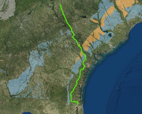 https://www.fractracker.org/a5ej20sjfwe/wp-content/uploads/2016/03/Palmetto-Pipeline-Feature.jpg
400
900
Karen Edelstein
https://www.fractracker.org/a5ej20sjfwe/wp-content/uploads/2025/09/2025-Wordmark-Logo.png
Karen Edelstein2016-03-04 15:47:472020-03-12 17:32:43Proposed Palmetto Pipeline: At what cost?
https://www.fractracker.org/a5ej20sjfwe/wp-content/uploads/2016/03/Palmetto-Pipeline-Feature.jpg
400
900
Karen Edelstein
https://www.fractracker.org/a5ej20sjfwe/wp-content/uploads/2025/09/2025-Wordmark-Logo.png
Karen Edelstein2016-03-04 15:47:472020-03-12 17:32:43Proposed Palmetto Pipeline: At what cost?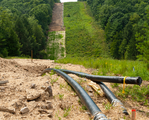 https://www.fractracker.org/a5ej20sjfwe/wp-content/uploads/2014/12/Pipeline-Feature.png
400
900
FracTracker Alliance
https://www.fractracker.org/a5ej20sjfwe/wp-content/uploads/2025/09/2025-Wordmark-Logo.png
FracTracker Alliance2016-02-17 10:21:412020-03-12 17:33:44A Push For Pipelines
https://www.fractracker.org/a5ej20sjfwe/wp-content/uploads/2014/12/Pipeline-Feature.png
400
900
FracTracker Alliance
https://www.fractracker.org/a5ej20sjfwe/wp-content/uploads/2025/09/2025-Wordmark-Logo.png
FracTracker Alliance2016-02-17 10:21:412020-03-12 17:33:44A Push For Pipelines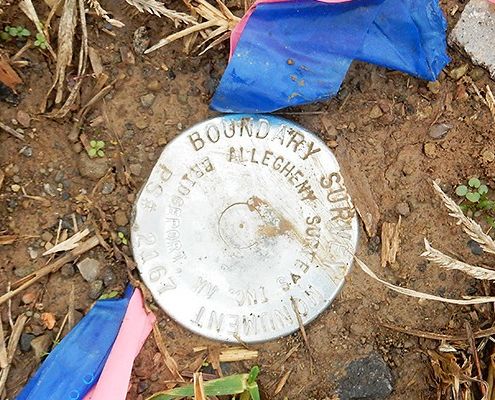 https://www.fractracker.org/a5ej20sjfwe/wp-content/uploads/2016/01/survey_symbols_fig17-e1454531652365.jpg
400
900
FracTracker Alliance
https://www.fractracker.org/a5ej20sjfwe/wp-content/uploads/2025/09/2025-Wordmark-Logo.png
FracTracker Alliance2016-02-17 10:20:222020-03-12 13:32:04Surveyor Symbols & Signs – A Guide
https://www.fractracker.org/a5ej20sjfwe/wp-content/uploads/2016/01/survey_symbols_fig17-e1454531652365.jpg
400
900
FracTracker Alliance
https://www.fractracker.org/a5ej20sjfwe/wp-content/uploads/2025/09/2025-Wordmark-Logo.png
FracTracker Alliance2016-02-17 10:20:222020-03-12 13:32:04Surveyor Symbols & Signs – A Guide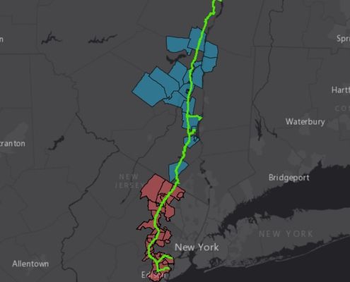 https://www.fractracker.org/a5ej20sjfwe/wp-content/uploads/2016/02/Pilgrim-Feature.jpg
400
900
Karen Edelstein
https://www.fractracker.org/a5ej20sjfwe/wp-content/uploads/2025/09/2025-Wordmark-Logo.png
Karen Edelstein2016-02-15 11:36:022020-03-12 17:34:07Controversial 178-mile-long parallel pipelines proposed for NY’s Hudson Valley/Northern NJ
https://www.fractracker.org/a5ej20sjfwe/wp-content/uploads/2016/02/Pilgrim-Feature.jpg
400
900
Karen Edelstein
https://www.fractracker.org/a5ej20sjfwe/wp-content/uploads/2025/09/2025-Wordmark-Logo.png
Karen Edelstein2016-02-15 11:36:022020-03-12 17:34:07Controversial 178-mile-long parallel pipelines proposed for NY’s Hudson Valley/Northern NJ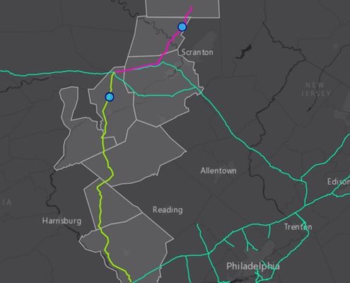 https://www.fractracker.org/a5ej20sjfwe/wp-content/uploads/2015/10/Atlantic-Shamer-Feature.jpg
400
900
Guest Author
https://www.fractracker.org/a5ej20sjfwe/wp-content/uploads/2025/09/2025-Wordmark-Logo.png
Guest Author2015-10-07 09:31:152020-03-12 17:39:30Maps of Updated Central Penn Pipeline Emphasize Threats to Residents and Environment
https://www.fractracker.org/a5ej20sjfwe/wp-content/uploads/2015/10/Atlantic-Shamer-Feature.jpg
400
900
Guest Author
https://www.fractracker.org/a5ej20sjfwe/wp-content/uploads/2025/09/2025-Wordmark-Logo.png
Guest Author2015-10-07 09:31:152020-03-12 17:39:30Maps of Updated Central Penn Pipeline Emphasize Threats to Residents and EnvironmentLooking for a map of US pipelines that you can access from your phone? Download our free mobile app.

![]()
216 Franklin St, Suite 400, Johnstown, PA 15901
Phone: +1 (717) 303-0403 | info@fractracker.org
FracTracker Alliance is a 501(c)3 non-profit: Tax identification number: 80-0844297

