Get the new
FRACTRACKER MOBILE APP
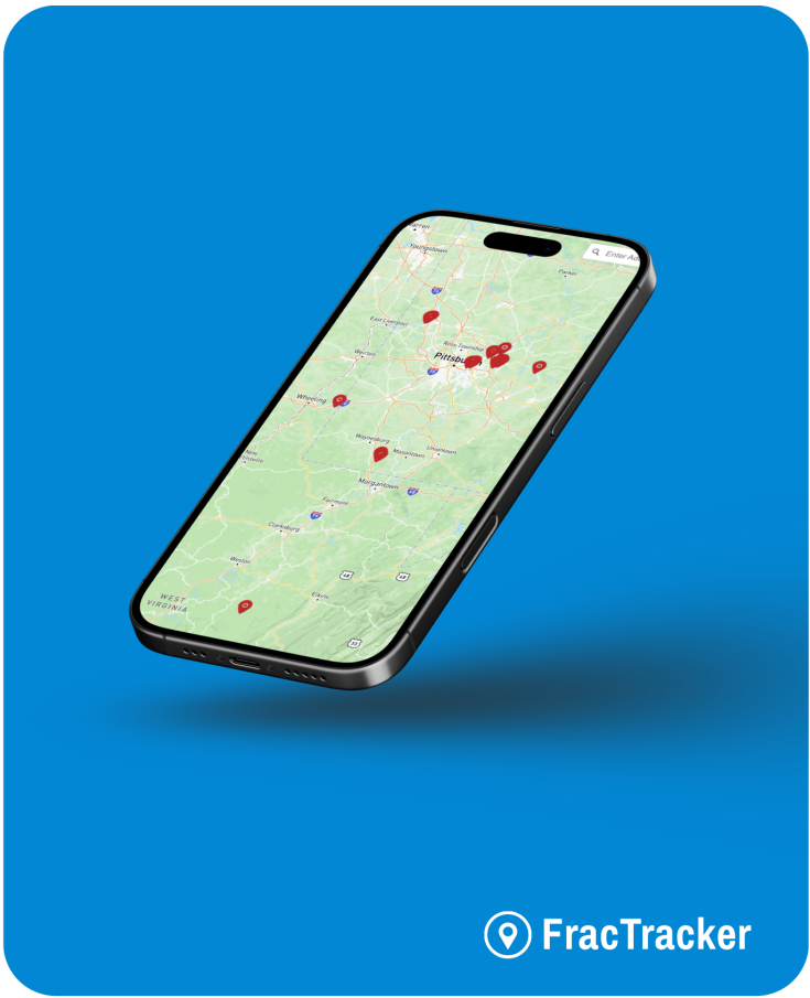
The FracTracker app for iOS and Android is a free tool for discovering the impacts of the fossil fuel industry near you.
ⓘ Disclaimer: By using the FracTracker App, you agree to our Terms of Service. This app is intended for informational purposes only, and the Company disclaims liability for any actions taken based on its content.
App in Action: Protecting Mesa Verde National Park
Explore the Story MapIn recent years, oil & gas exploration has begun to alter the landscape near Mesa Verde National Park in Colorado. Learn about the sensitive resources at risk through a story map created by FracTracker & National Parks Conservation Association using volunteer submissions in our mobile app.
App in Action: Monitoring Teddy Roosevelt National Park
Learn moreIn May 2014, the National Parks Conservation Association partnered with FracTracker to record the impacts of oil and gas development on North Dakota’s Theodore Roosevelt National Park. Using our app, local volunteers spent two days driving around the park, recording images of wells, flares, oil trucks, trains, drilling rigs, pipelines, and other products of the boom on the Bakken.
FAQ
This resource is designed to assist you in navigating the app, understanding its features, and addressing common questions.
What is the FracTracker app?
The FracTracker app is a free tool that allows users to document and explore oil and gas activities. Users can view nearby infrastructure, submit reports with photos, and access a feed of community submissions.
How do I access the app?
You can access the web-based version at app.fractracker.org. Mobile versions are available for download on both the Apple App Store and Google Play Store.
What information does the map provide?
The map displays locations of oil and gas infrastructure, including oil and gas wells, compressor stations, plants (e.g., coal, biodiesel, natural gas, petroleum, ethanol, ethylene cracker), terminals, ports, hubs, pipelines (digitized by FracTracker), and liquid pipelines. It also shows user-submitted reports detailing various observations. While efforts are made to ensure accuracy, some data, especially pipeline routes, may be approximate due to limitations in publicly available information.
Why can’t I see certain infrastructure on the map?
Some infrastructure data may be limited due to availability or may not be displayed at certain zoom levels. Try zooming in or out, or check back later as data is routinely updated.
I’m experiencing issues with the app. What should I do?
Ensure you have a stable internet connection. If problems persist, contact FracTracker support at support@fractracker.org.
Share Your Feedback
Report any problems you’ve experienced, suggest new functionality, or share any general comments you have about the app.
216 Franklin St, Suite 400, Johnstown, PA 15901
Phone: +1 (717) 303-0403 | info@fractracker.org
FracTracker Alliance is a 501(c)3 non-profit: Tax identification number: 80-0844297