FracTracker Mobile App Now Includes Activity Feed and Mapped Pipelines
Explore and Document Drilling Activity Near You with the FracTracker App
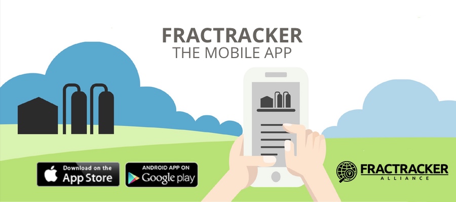
The oil and gas industry – from its wells to pipelines to refineries – has a variety of ways of impacting the communities and environment that surround its infrastructure. Given the scope of the industry, it’s almost impossible to see how oil and gas affects people and for them to share their experiences with others. Until today. FracTracker is excited to announce that we have completely rebuilt and significantly improved our frack-tracking mobile app. This app can serve as a documenting and tracking tool for reporters, residents, researchers, and groups concerned about oil and gas and its impacts.
Screenshots


Updated App Features
The free app, available for iPhone and Android users, still offers the ability to see drilling near you in the U.S. and add reports and photos about this activity onto a shared map. Based on feedback from many of our partners and readers, we have added and updated several features, as well.
- Profile – Sign in to the app with an email address and password, with the option to add other information to your profile. This area is also where you can privately view your previous and pending reports.
- Activity Feed – Shows the most recent submissions by app users. Scroll down to view older reports.
- Save As Draft – Not ready to submit your report? Save it as a draft and return to submit it later.
- Real-Time Submissions – We will no longer be curating incoming reports before they go live – so the activity feed and map show real-time submissions.
- Flagging Tool – Mark a submission as inappropriate. A FracTracker moderator will review the report and take the appropriate action.
- Indicate Senses Affected – Classify a report by the sense(s) impacted – e.g. Nearby drilling activity is loud, or an impoundment is causing noxious odors.
- Pipelines Mapped – In addition to active wells and user reports, we have added national pipelines to the map. Please note that many of the pipeline locations are approximate because detailed, public pipeline data is lacking. Help us make this information more accurate by posting photos of pipelines near you.
Feedback Loops
Several organizations and community groups helped to test and improve the app during its redesign, including residents living amongst the oil and gas fields on the Front Range of Colorado and Southwest Pennsylvania, as well as with students at Drexel University.
When we redesigned our mobile app, we felt it was important to go into communities that are living amongst the oil and gas industry. Together, we identified what they needed most when reporting their concerns and potential impacts. The results are a very versatile app. People living around urban refinery hubs, as well as those living in rural extraction regions, will find this tool incredibly useful.
We’d love to hear your feedback about these changes once you have had a chance to explore the app’s updated features.
The app was developed by FracTracker Alliance in collaboration with Viable Industries, L.L.C.
Mobile App Contact
Kirk Jalbert, PhD, MFA
Manager of Community-Based Research and Engagement
FracTracker Alliance
jalbert@fractracker.org