Illinois
The first hydraulic fracturing permit in Illinois was issued in 2017.
The first hydraulic fracturing permit in Illinois was issued in 2017.
FracTracker provides state-specific data on issues such as:
The data folders may also contain information on other energy generation locations, data from different years, and data on violations committed by oil and gas facilities. Amount of information and types of information will vary by state. Get data.
Illinois Natural Resources Geospatial Data Clearinghouse provides data on all oil and gas wells in Illinois.
 https://fractracker.org/wp-content/uploads/2025/02/49727923413_5d7b7335a0_k.jpg
621
1500
Guest Author
https://fractracker.org/wp-content/uploads/2025/09/2025-Wordmark-Logo.png
Guest Author2025-01-31 14:52:292025-02-03 15:59:13Regulatory Gaps and Resistance: The Battle Over Fracking in Southern Illinois
https://fractracker.org/wp-content/uploads/2025/02/49727923413_5d7b7335a0_k.jpg
621
1500
Guest Author
https://fractracker.org/wp-content/uploads/2025/09/2025-Wordmark-Logo.png
Guest Author2025-01-31 14:52:292025-02-03 15:59:13Regulatory Gaps and Resistance: The Battle Over Fracking in Southern Illinois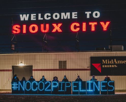 Great Plains Action Society
https://fractracker.org/wp-content/uploads/2024/10/No-CO2-Ppelines-Sioux-City.jpg
672
1012
Gwen Klenke
https://fractracker.org/wp-content/uploads/2025/09/2025-Wordmark-Logo.png
Gwen Klenke2024-10-22 11:55:082024-10-25 12:10:00Indigenous Communities’ Fight Against CO2 Pipelines in the Great Plains
Great Plains Action Society
https://fractracker.org/wp-content/uploads/2024/10/No-CO2-Ppelines-Sioux-City.jpg
672
1012
Gwen Klenke
https://fractracker.org/wp-content/uploads/2025/09/2025-Wordmark-Logo.png
Gwen Klenke2024-10-22 11:55:082024-10-25 12:10:00Indigenous Communities’ Fight Against CO2 Pipelines in the Great Plains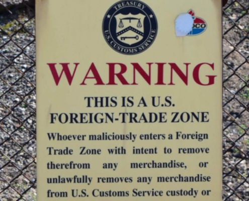 https://fractracker.org/wp-content/uploads/2020/07/Foreign-Trade-Zone-Sign-Feature.jpg
833
1875
FracTracker Alliance
https://fractracker.org/wp-content/uploads/2025/09/2025-Wordmark-Logo.png
FracTracker Alliance2020-07-09 09:12:212021-04-15 14:16:12Industry Targets Peaceful Protest via “Critical Infrastructure” Legislation
https://fractracker.org/wp-content/uploads/2020/07/Foreign-Trade-Zone-Sign-Feature.jpg
833
1875
FracTracker Alliance
https://fractracker.org/wp-content/uploads/2025/09/2025-Wordmark-Logo.png
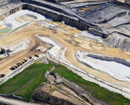
FracTracker Alliance2020-07-09 09:12:212021-04-15 14:16:12Industry Targets Peaceful Protest via “Critical Infrastructure” Legislation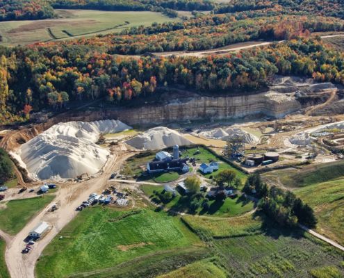 https://fractracker.org/wp-content/uploads/2013/10/FracSandMining-2013-Auch33.jpg
998
1500
Shannon Smith
https://fractracker.org/wp-content/uploads/2025/09/2025-Wordmark-Logo.png
Shannon Smith2020-06-19 18:13:482023-02-03 14:13:21Frac Sand
https://fractracker.org/wp-content/uploads/2013/10/FracSandMining-2013-Auch33.jpg
998
1500
Shannon Smith
https://fractracker.org/wp-content/uploads/2025/09/2025-Wordmark-Logo.png
Shannon Smith2020-06-19 18:13:482023-02-03 14:13:21Frac Sand https://fractracker.org/wp-content/uploads/2020/02/National-map-feature-3.png
400
900
Erica Jackson
https://fractracker.org/wp-content/uploads/2025/09/2025-Wordmark-Logo.png
Erica Jackson2020-02-28 17:35:142022-05-02 15:21:42National Energy and Petrochemical Map
https://fractracker.org/wp-content/uploads/2020/02/National-map-feature-3.png
400
900
Erica Jackson
https://fractracker.org/wp-content/uploads/2025/09/2025-Wordmark-Logo.png
Erica Jackson2020-02-28 17:35:142022-05-02 15:21:42National Energy and Petrochemical Map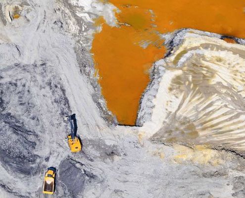 https://fractracker.org/wp-content/uploads/2018/07/Sand-Flyover-Feature.jpg
400
900
Ted Auch, PhD
https://fractracker.org/wp-content/uploads/2025/09/2025-Wordmark-Logo.png
Ted Auch, PhD2018-08-08 10:31:522021-04-15 14:57:41Documenting Fracking Impacts: A Yearlong Tour from a Bird’s-Eye-View
https://fractracker.org/wp-content/uploads/2018/07/Sand-Flyover-Feature.jpg
400
900
Ted Auch, PhD
https://fractracker.org/wp-content/uploads/2025/09/2025-Wordmark-Logo.png
Ted Auch, PhD2018-08-08 10:31:522021-04-15 14:57:41Documenting Fracking Impacts: A Yearlong Tour from a Bird’s-Eye-View![]()
216 Franklin St, Suite 400, Johnstown, PA 15901
Phone: +1 (717) 303-0403 | info@fractracker.org
FracTracker Alliance is a 501(c)3 non-profit: Tax identification number: 80-0844297


