North Dakota
Hydraulic fracturing is common in North Dakota, with hydraulic fracturing accounting for 95.7% of oil and gas production in 2015.
Hydraulic fracturing is common in North Dakota, with hydraulic fracturing accounting for 95.7% of oil and gas production in 2015.
FracTracker provides state-specific data on issues such as:
The data folders may also contain information on other energy generation locations, data from different years, and data on violations committed by oil and gas facilities. Amount of information and types of information will vary by state. Get data.
North Dakota Department of Mineral Resources provides several free datasets about oil and gas drilling in North Dakota. The agency’s Oil and Gas: ArcIMS Viewer contains download links to a statewide file of wells.
 Great Plains Action Society
https://www.fractracker.org/a5ej20sjfwe/wp-content/uploads/2024/10/No-CO2-Ppelines-Sioux-City.jpg
672
1012
Gwen Klenke
https://www.fractracker.org/a5ej20sjfwe/wp-content/uploads/2025/09/2025-Wordmark-Logo.png
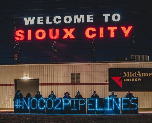
Gwen Klenke2024-10-22 11:55:082024-10-25 12:10:00Indigenous Communities’ Fight Against CO2 Pipelines in the Great Plains
Great Plains Action Society
https://www.fractracker.org/a5ej20sjfwe/wp-content/uploads/2024/10/No-CO2-Ppelines-Sioux-City.jpg
672
1012
Gwen Klenke
https://www.fractracker.org/a5ej20sjfwe/wp-content/uploads/2025/09/2025-Wordmark-Logo.png
Gwen Klenke2024-10-22 11:55:082024-10-25 12:10:00Indigenous Communities’ Fight Against CO2 Pipelines in the Great Plains https://www.fractracker.org/a5ej20sjfwe/wp-content/uploads/2016/10/Nix-Pix-050.jpg
3088
4629
FracTracker Alliance
https://www.fractracker.org/a5ej20sjfwe/wp-content/uploads/2025/09/2025-Wordmark-Logo.png
FracTracker Alliance2024-06-04 16:34:592025-05-02 14:53:36The Importance of Surveying Rural Landowners in North Dakota on Fracking
https://www.fractracker.org/a5ej20sjfwe/wp-content/uploads/2016/10/Nix-Pix-050.jpg
3088
4629
FracTracker Alliance
https://www.fractracker.org/a5ej20sjfwe/wp-content/uploads/2025/09/2025-Wordmark-Logo.png
FracTracker Alliance2024-06-04 16:34:592025-05-02 14:53:36The Importance of Surveying Rural Landowners in North Dakota on Fracking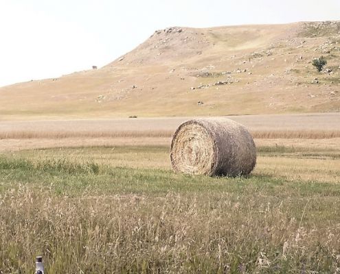 https://www.fractracker.org/a5ej20sjfwe/wp-content/uploads/2022/08/51119572588_132e0366c1_k_1-e1663254774314.jpg
607
1364
Guest Author
https://www.fractracker.org/a5ej20sjfwe/wp-content/uploads/2025/09/2025-Wordmark-Logo.png
Guest Author2022-08-31 14:33:482022-09-15 16:29:45Carbon Capture and Storage: Developments in the Law of Pore Space in North Dakota
https://www.fractracker.org/a5ej20sjfwe/wp-content/uploads/2022/08/51119572588_132e0366c1_k_1-e1663254774314.jpg
607
1364
Guest Author
https://www.fractracker.org/a5ej20sjfwe/wp-content/uploads/2025/09/2025-Wordmark-Logo.png
Guest Author2022-08-31 14:33:482022-09-15 16:29:45Carbon Capture and Storage: Developments in the Law of Pore Space in North Dakota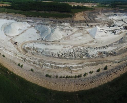 https://www.fractracker.org/a5ej20sjfwe/wp-content/uploads/2020/07/Sylvanian-MineralsUS-Silica-frac-sand-mine-in-South-Rockwood-Michigan-2.jpg
704
1500
Ted Auch, PhD
https://www.fractracker.org/a5ej20sjfwe/wp-content/uploads/2025/09/2025-Wordmark-Logo.png
Ted Auch, PhD2020-07-09 09:13:242021-04-15 14:16:11Trends in Proposed State Legislation to Weaken Environmental Regulations
https://www.fractracker.org/a5ej20sjfwe/wp-content/uploads/2020/07/Sylvanian-MineralsUS-Silica-frac-sand-mine-in-South-Rockwood-Michigan-2.jpg
704
1500
Ted Auch, PhD
https://www.fractracker.org/a5ej20sjfwe/wp-content/uploads/2025/09/2025-Wordmark-Logo.png
Ted Auch, PhD2020-07-09 09:13:242021-04-15 14:16:11Trends in Proposed State Legislation to Weaken Environmental Regulations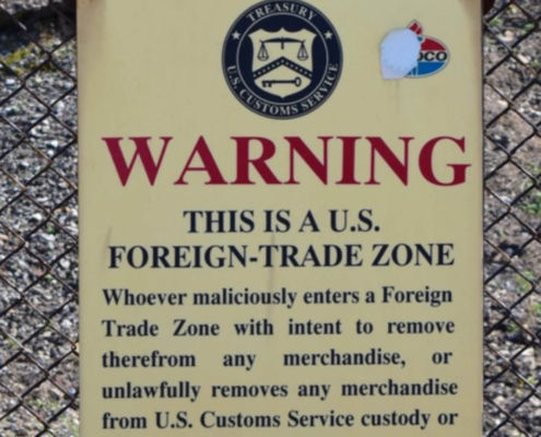 https://www.fractracker.org/a5ej20sjfwe/wp-content/uploads/2020/07/Foreign-Trade-Zone-Sign-Feature.jpg
833
1875
FracTracker Alliance
https://www.fractracker.org/a5ej20sjfwe/wp-content/uploads/2025/09/2025-Wordmark-Logo.png
FracTracker Alliance2020-07-09 09:12:212021-04-15 14:16:12Industry Targets Peaceful Protest via “Critical Infrastructure” Legislation
https://www.fractracker.org/a5ej20sjfwe/wp-content/uploads/2020/07/Foreign-Trade-Zone-Sign-Feature.jpg
833
1875
FracTracker Alliance
https://www.fractracker.org/a5ej20sjfwe/wp-content/uploads/2025/09/2025-Wordmark-Logo.png
FracTracker Alliance2020-07-09 09:12:212021-04-15 14:16:12Industry Targets Peaceful Protest via “Critical Infrastructure” Legislation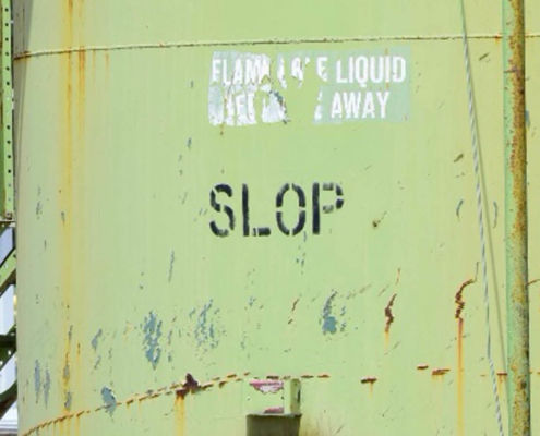 https://www.fractracker.org/a5ej20sjfwe/wp-content/uploads/2020/06/Oil-Gas-waste-tank-in-Michigan-feature-scaled.jpg
430
1500
Ted Auch, PhD
https://www.fractracker.org/a5ej20sjfwe/wp-content/uploads/2025/09/2025-Wordmark-Logo.png
Ted Auch, PhD2020-06-18 10:24:572021-04-15 14:16:44The North Dakota Shale Viewer Reimagined: Mapping the Water and Waste Impact
https://www.fractracker.org/a5ej20sjfwe/wp-content/uploads/2020/06/Oil-Gas-waste-tank-in-Michigan-feature-scaled.jpg
430
1500
Ted Auch, PhD
https://www.fractracker.org/a5ej20sjfwe/wp-content/uploads/2025/09/2025-Wordmark-Logo.png
Ted Auch, PhD2020-06-18 10:24:572021-04-15 14:16:44The North Dakota Shale Viewer Reimagined: Mapping the Water and Waste Impact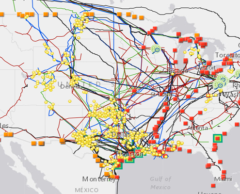 https://www.fractracker.org/a5ej20sjfwe/wp-content/uploads/2020/02/National-map-feature-3.png
400
900
Erica Jackson
https://www.fractracker.org/a5ej20sjfwe/wp-content/uploads/2025/09/2025-Wordmark-Logo.png
Erica Jackson2020-02-28 17:35:142022-05-02 15:21:42National Energy and Petrochemical Map
https://www.fractracker.org/a5ej20sjfwe/wp-content/uploads/2020/02/National-map-feature-3.png
400
900
Erica Jackson
https://www.fractracker.org/a5ej20sjfwe/wp-content/uploads/2025/09/2025-Wordmark-Logo.png
Erica Jackson2020-02-28 17:35:142022-05-02 15:21:42National Energy and Petrochemical Map![]()
216 Franklin St, Suite 400, Johnstown, PA 15901
Phone: +1 (717) 303-0403 | info@fractracker.org
FracTracker Alliance is a 501(c)3 non-profit: Tax identification number: 80-0844297


