Denver, CO – Final Days of the APHA Conference
By Samantha Malone, MPH, CPH – Communications Specialist, Center for Healthy Environments & Communities (CHEC) of the University of Pittsburgh Graduate School of Public Health (GSPH), & DrPH Student, GSPH
During the final days of the APHA Conference and my trip to Colorado, I spent a lot of time working on the University of Pittsburgh Graduate School of Public Health’s (GSPH) upcoming conference on the potential public health effects of shale gas extraction (registration has closed).
I also spent time learning more about how people in CO and surrounding states view shale gas drilling, especially the perspectives of public health professionals attending the conference.
Interestingly, my conversations and observations revealed something entirely different than I expected. A “Blue Bear” in the window, you could say (photo left). The conference attendees I spoke with did not seem nearly as concerned as many people I converse with here within the Marcellus Shale play. Perhaps this is because shale gas drilling (in the form we are seeing in the Marcellus right now) started earlier in the western and southwestern states, and the shale plays are much smaller in other parts of the country. (Don’t worry. I openly acknowledge that I have a bit of a sampling bias in assessing how often Marcellus concerns crop up during conversation around me. Try sitting at my family’s Thanksgiving dinner table with me.)
Being as unbiased as I could, it seemed that local professionals in Colorado view shale gas drilling as a “necessary evil.” They figure, if it is going to happen, they should know the most intimate details. As a result, some of the researchers and groups in those portions of the U.S. are actively involving industry in their research and outreach efforts. Perhaps this is an approach Marcellus-based organizations should take. I wonder how often it is already occurring in our region, and I would love your feedback about this inquiry.
As a I said, some researchers are working with gas drilling companies to address their academic research needs. Below is a quick summary of a presentation by Roxana Witter, MD, MSPH that utilized industry and community input. I won’t go into the dirty details because Dr. Witter, Jim Rada, and John Adgate, PhD will be presenting the entire results of their work at GSPH’s conference this Friday. You can read the abstract of Dr. Witter’s APHA presentation here: Use of Health Impact Assessment (HIA) to Help Inform Decision Making Regarding Natural Gas Drilling Permits in Colorado.
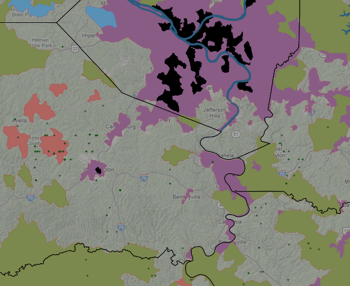
Battlement Mesa Health Impact Assessment
In a study by Roxana Witter, MD, MSPH; Jim Rada, BS, REHS; Kaylan Stinson, MSPH; Kenneth Scott, MPH; John Adgate, PhD; and Lee Newman, MD, MA (don’t you just love all of those credentials?) – a health impact assessment was conducted in Battlement Mesa, Garfield County, CO. During the APHA conference, Dr. Witter reported that the study area previously experienced what is called a “boom and bust” of natural gas drilling. In case you are interested, the tendency for this industry to follow a “boom and bust” cycle is discussed in the following article: “Energy Boomtowns & Natural Gas” PDF. Recent interest by a drilling company triggered the request of an HIA to help guide land use decision making.
In 2005, Jim Rada began conducting ambient (outside) air monitoring for particulates and other contaminants. At this time, Rada educated citizens and also encouraged dialogues between the industry and citizens. The formal health assessment began in 2009. In addition to their own epidemiological (health-by-numbers) investigations, the researchers held stakeholder meetings with citizens, state agencies, and industry to gather their input and perspectives. The researchers were able to release a draft of the HIA in September 2010, where it was open for public comment until recently (this week, I believe). Look for the final HIA soon. Essentially, the draft HIA shows that quality of health was not significantly affected, but the community felt some impacts:
- Increase in violent crimes
- Chlamydia cases doubled (a sexually transmitted bacterial infection)
- School enrollment increased
The researchers also conducted a Health Risk Assessment to identify potential problems down the road. They looked a eight (8) major areas of concern based on the stakeholder meetings: air quality, water quality, traffic, noise, economic conditions, social conditions, health infrastructure, and accidents/malfunction.
Of those, the researchers identified four key areas of concern based on available data (shown in descending order below) that pose the highest risk of producing negative health impacts:
- Air quality
- Traffic
- Water quality
- Community wellness (defined by looking at “crime rates, mental health, substance abuse and suicide, occurrence of sexually transmitted infection, and enrollment in K-12 education”)
Like I said, Dr. Witter and her colleagues will go into more detail about this on Friday. I would hate to be a complete spoiler. Just in case you missed the cutoff for registration for that conference, no fear, the video of the conference will be posted on this blog and on the conference website.
And finally, I discussed some of my impressions about CO and a lot about FracTracker’s DataTool (now archived) during an interview on Penn State’s Sustainability Now radio show. It aired live on Friday, November 11th from 4-5 pm (while I was visiting Breckenridge) on The Lion 90.7 fm.