Land
Learn about land impacts of the oil and gas industry through FracTracker articles, maps, and imagery.
Learn about land impacts of the oil and gas industry through FracTracker articles, maps, and imagery.
The articles and maps below deal in part with impacts of oil and gas development on land use including for agriculture, public land, watersheds, forests, private property, etc.
Explore our gallery of images related to energy exploration, extraction, and production.
 https://www.fractracker.org/a5ej20sjfwe/wp-content/uploads/2016/10/Nix-Pix-021.jpg
3336
5001
Ted Auch, PhD
https://www.fractracker.org/a5ej20sjfwe/wp-content/uploads/2025/09/2025-Wordmark-Logo.png
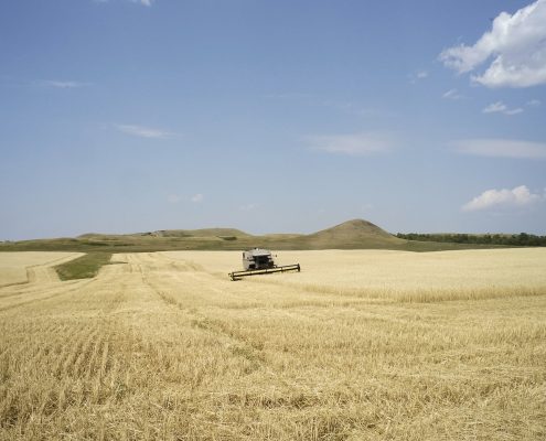
Ted Auch, PhD2023-11-14 22:11:292024-02-05 13:44:01Fertilizer Production in the United States: How Big Ag is Fossil Fueled
https://www.fractracker.org/a5ej20sjfwe/wp-content/uploads/2016/10/Nix-Pix-021.jpg
3336
5001
Ted Auch, PhD
https://www.fractracker.org/a5ej20sjfwe/wp-content/uploads/2025/09/2025-Wordmark-Logo.png
Ted Auch, PhD2023-11-14 22:11:292024-02-05 13:44:01Fertilizer Production in the United States: How Big Ag is Fossil Fueled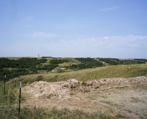 https://www.fractracker.org/a5ej20sjfwe/wp-content/uploads/2016/10/Nix-Pix-034.jpg
3260
4887
Erica Jackson
https://www.fractracker.org/a5ej20sjfwe/wp-content/uploads/2025/09/2025-Wordmark-Logo.png
Erica Jackson2023-08-31 14:19:372023-11-28 12:34:36How Spills, Holes, and Cracks Release Fracking Chemicals Into the Environment
https://www.fractracker.org/a5ej20sjfwe/wp-content/uploads/2016/10/Nix-Pix-034.jpg
3260
4887
Erica Jackson
https://www.fractracker.org/a5ej20sjfwe/wp-content/uploads/2025/09/2025-Wordmark-Logo.png
Erica Jackson2023-08-31 14:19:372023-11-28 12:34:36How Spills, Holes, and Cracks Release Fracking Chemicals Into the Environment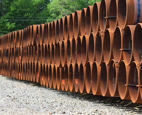 https://www.fractracker.org/a5ej20sjfwe/wp-content/uploads/2021/03/TAuch_Transportation-RoverPipeline_Construction-EnergyTransferPartners-Woodsfield_OH_May2017.jpg
576
1500
Karen Edelstein
https://www.fractracker.org/a5ej20sjfwe/wp-content/uploads/2025/09/2025-Wordmark-Logo.png
Karen Edelstein2022-11-30 17:50:122024-01-22 16:03:23A Contentious Landscape of Pipeline Build-outs in the Eastern US
https://www.fractracker.org/a5ej20sjfwe/wp-content/uploads/2021/03/TAuch_Transportation-RoverPipeline_Construction-EnergyTransferPartners-Woodsfield_OH_May2017.jpg
576
1500
Karen Edelstein
https://www.fractracker.org/a5ej20sjfwe/wp-content/uploads/2025/09/2025-Wordmark-Logo.png
Karen Edelstein2022-11-30 17:50:122024-01-22 16:03:23A Contentious Landscape of Pipeline Build-outs in the Eastern US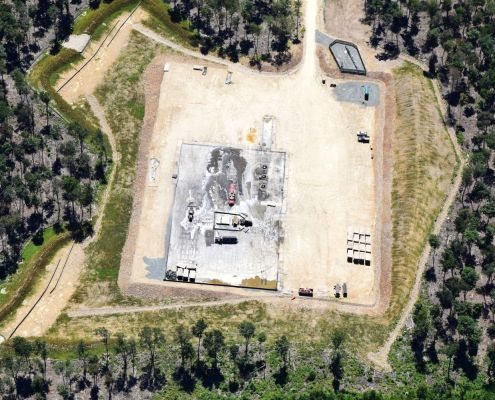 https://www.fractracker.org/a5ej20sjfwe/wp-content/uploads/2022/11/DSC_1359_HighRes.jpg
1000
1500
FracTracker Alliance
https://www.fractracker.org/a5ej20sjfwe/wp-content/uploads/2025/09/2025-Wordmark-Logo.png
FracTracker Alliance2022-11-23 15:15:112025-03-06 15:40:10Coursing Through Gasland: A Digital Atlas Exploring Natural Gas Development in the Towanda Creek Watershed
https://www.fractracker.org/a5ej20sjfwe/wp-content/uploads/2022/11/DSC_1359_HighRes.jpg
1000
1500
FracTracker Alliance
https://www.fractracker.org/a5ej20sjfwe/wp-content/uploads/2025/09/2025-Wordmark-Logo.png
FracTracker Alliance2022-11-23 15:15:112025-03-06 15:40:10Coursing Through Gasland: A Digital Atlas Exploring Natural Gas Development in the Towanda Creek Watershed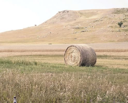 https://www.fractracker.org/a5ej20sjfwe/wp-content/uploads/2022/08/51119572588_132e0366c1_k_1-e1663254774314.jpg
607
1364
Guest Author
https://www.fractracker.org/a5ej20sjfwe/wp-content/uploads/2025/09/2025-Wordmark-Logo.png
Guest Author2022-08-31 14:33:482022-09-15 16:29:45Carbon Capture and Storage: Developments in the Law of Pore Space in North Dakota
https://www.fractracker.org/a5ej20sjfwe/wp-content/uploads/2022/08/51119572588_132e0366c1_k_1-e1663254774314.jpg
607
1364
Guest Author
https://www.fractracker.org/a5ej20sjfwe/wp-content/uploads/2025/09/2025-Wordmark-Logo.png
Guest Author2022-08-31 14:33:482022-09-15 16:29:45Carbon Capture and Storage: Developments in the Law of Pore Space in North Dakota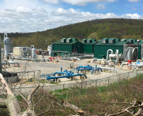 https://www.fractracker.org/a5ej20sjfwe/wp-content/uploads/2021/07/Lycoming-feature.jpg
667
1500
FracTracker Alliance
https://www.fractracker.org/a5ej20sjfwe/wp-content/uploads/2025/09/2025-Wordmark-Logo.png
FracTracker Alliance2021-07-27 09:58:142021-07-28 11:23:19Lycoming Watershed Digital Atlas
https://www.fractracker.org/a5ej20sjfwe/wp-content/uploads/2021/07/Lycoming-feature.jpg
667
1500
FracTracker Alliance
https://www.fractracker.org/a5ej20sjfwe/wp-content/uploads/2025/09/2025-Wordmark-Logo.png
FracTracker Alliance2021-07-27 09:58:142021-07-28 11:23:19Lycoming Watershed Digital Atlas![]()
216 Franklin St, Suite 400, Johnstown, PA 15901
Phone: +1 (717) 303-0403 | info@fractracker.org
FracTracker Alliance is a 501(c)3 non-profit: Tax identification number: 80-0844297