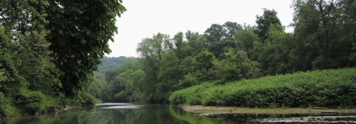
 The cottage along Slope Creek, months after being vacated due to health concerns caused by nearby oil and gas operations. Photo courtesy of Chloe Mankin
Calling for Change: Life on the Fracking Frontlines
Frontline residents of the Ohio River Valley have first-hand experience of the impacts of fracking.
Frontline residents of the Ohio River Valley have first-hand experience of the impacts of fracking.
Digital atlas of Pennsylvania’s Raccoon Creek unveils a comprehensive exploration of the watershed, emphasizing its ecological richness, recreational offerings, and the multifaceted impacts of industrial activities.
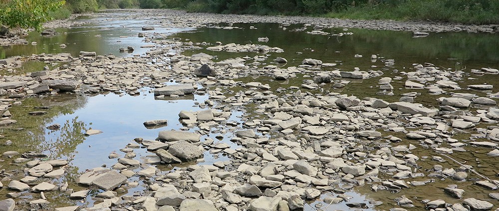
State designated waters in Pennsylvania are protected from pollution, but not from oil and gas related water withdrawals. This analysis shows watersheds in the state are at risk for ecological degradation due to fracking.
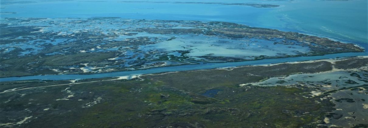
The SCOTUS decision in Sackett v. EPA has significant implications for wetland protection and the future trajectory of environmental regulation in the United States.
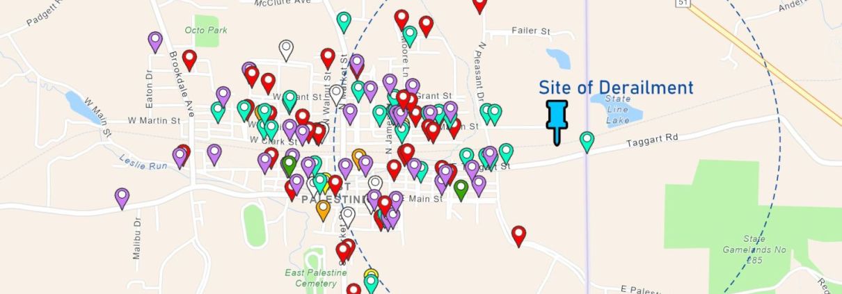
Hundreds of reports from the frontlines prove that the impacts of the disaster in East Palestine, Ohio, warrant an emergency response.
This digital atlas exploring natural gas development in the Towanda Creek watershed is the fourth in a series of FracTracker Alliance watershed impact analyses in the Susquehanna River Basin.
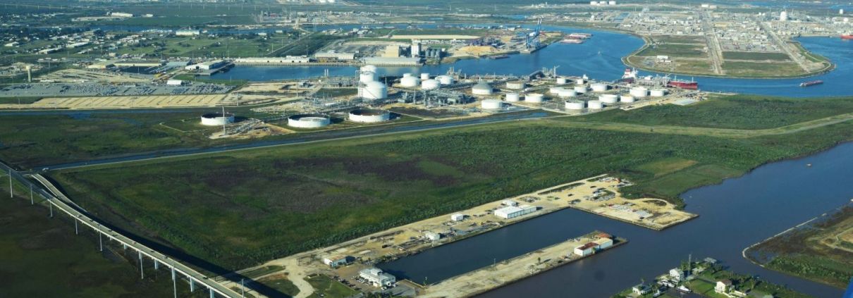
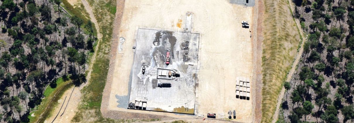
Desalination facilities proposed by the petrochemical industry in Texas could significantly impact fragile Gulf Coast ecosystems.

“Hellbent,” a new documentary slated for release in August 2022, tells the story of a small town in Pennsylvania and a species on the brink of extinction that are unlikely allies in the fight for a clean, livable environment.
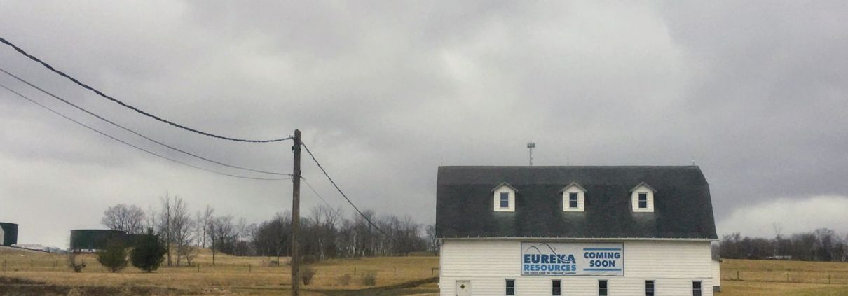
Sen. Muth and Dimock, PA residents are fighting a permitted Eureka Resource Susquehanna facility that puts their water at risk.

The story of Victoria Switzer, a Dimock resident who is leading the charge to protect Burdick Creek and Dimock from toxic fracking waste.
![]()
216 Franklin St, Suite 400, Johnstown, PA 15901
Phone: +1 (717) 303-0403 | info@fractracker.org
FracTracker Alliance is a 501(c)3 non-profit: Tax identification number: 80-0844297
 Matt Kelso, FracTracker Alliance, 2023