Groups Announce Legal Action to Stop Sewage Plants from Dumping Gas Drilling Wastewater in PA Rivers
FOR IMMEDIATE RELEASE
Groups Announce Legal Action to Stop Sewage Plants from
Dumping Gas Drilling Wastewater in Pennsylvania Rivers
— McKeesport and Franklin Twp. plants targeted —
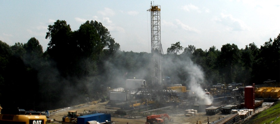
(Pittsburgh) – Clean Water Action and Three Rivers Waterkeeper served legal noticestoday on two sewer authorities that have been discharging Marcellus Shale gas drillingwastewater into the Monongahela River watershed south of Pittsburgh. The noticesdetail violations of the federal Clean Water Act by the facilities, primarily for dischargingwastewater without a permit. Both EPA and the Pennsylvania DEP were notified as wellof the legal action. This is the first time a legal action has been filed to stop the currentdischarge of Marcellus drilling wastewater.
The two sewer authorities targeted are the Municipal Authority of the City of McKeesport inAllegheny County and the Franklin Township Sewer Authority, located in Greene County.McKeesport discharges up to 100,000 gallons per day of Marcellus drilling wastewater intothe Monongahela River. Franklin Twp. discharges up to 50,000 gallons per day into TenMile Creek, a tributary of the Monongahela River. The Monongahela supplies drinkingwater for nearly a half million people, including a portion of the City of Pittsburgh.
“We cannot wait any longer to rely on the state and EPA to act,” stated Myron Arnowitt,PA State Director for Clean Water Action. “These sewage plants have been illegallydischarging gas drilling wastewater into our rivers since 2008 without a permit as requiredby the Clean Water Act. They should immediately stop accepting gas drilling wastewaterand if they want to accept it, they should apply for a permit to do so,” Arnowitt stated.
“Our rivers have made a miraculous recovery over the past few decades, thanks – in largepart – to laws that protect the public’s right to clean rivers and safe drinking water. Theselaws are public health laws and their strict enforcement has a direct, positive effect on thehealth of our rivers, our communities, and our citizens,” stated Ned Mulcahy, ExecutiveDirector for Three Rivers Waterkeeper. “We demand that these facilities stop acceptingtruck after truck of this wastewater and that the DEP and EPA take all necessary actionsto ensure that our rivers, our drinking water, and our communities are protected from thehealth hazards posed by improper treatment and illegal discharges,” Mulcahy stated.
Pennsylvania DEP has previously issued consent orders with both facilities that purportto allow the sewage plants to accept and discharge Marcellus wastewater. Arnowittstated, “DEP’s consent orders are private deals that are negotiated without public input.
The public is not notified and there are no public hearings as there would be if they appliedfor a Clean Water Act permit to discharge appropriately treated Marcellus wastewater. Ifthis wastewater is as safe as the gas industry says it is, lets have a public process so wecan see what the impact really is,” stated Arnowitt.
Water samples recently taken by University of Pittsburgh researchers downstream ofarea wastewater plants have shown elevated levels of numerous contaminants found inMarcellus wastewater including: total dissolved solids, chlorides, bromides, barium, andstrontium.
Although DEP had previously issued in 2010 strict wastewater treatment standards formost oil and gas wastewater sources, the new rule grandfathered all existing plants thatare currently discharging Marcellus wastewater. No plants in Pennsylvania that arecurrently discharging Marcellus wastewater are capable of removing contaminants to thelevel required by the 2010 wastewater rule.
EPA Region III Administrator Shawn Garvin sent a letter this week to Acting DEPSecretary Krancer concerning Marcellus wastewater discharge permits. The letter readin part, “These permits do not now include critical provisions necessary for effectiveprocessing and treatment of wastewaters from drilling operations.”
The legal action that is being filed today is the first step in what is referred to as a citizensuit under the Clean Water Act. When government agencies fail to address violations ofthe Clean Water Act this federal law allows any citizen to sue for enforcement of the law.The filing today is the legally required “Notice of Intent” informing all parties of the Clean Water Act violations at issue.
The legal filing from Clean Water Action and Three Rivers Waterkeeper can bedownloaded here.
Clean Water Action has more than 120,000 members statewide in Pennsylvania and isthe nation’s largest grassroots group focused on water, energy and environmental health.Clean Water Action’s 1 million members, participate in Clean Water Action’s programs forclean, safe and affordable water, prevention of health-threatening pollution, and creation ofenvironmentally-safe jobs and businesses. Clean Water Action’s nonpartisan campaignsempower people to make democracy work.
The mission of Three Rivers Waterkeeper is to ensure that communities throughoutSouthwestern Pennsylvania have safe water to drink, clean rivers to enjoy, and themeans necessary to defend their right to both. To accomplish this mission, Three RiversWaterkeeper will engage in education and outreach, work with communities and theirleaders, partner with government actors and NGOs, patrol the rivers, monitor water quality,and hold polluters accountable under the law.